All Roads Lead to Temescal- Final Configuration in the late 1930s

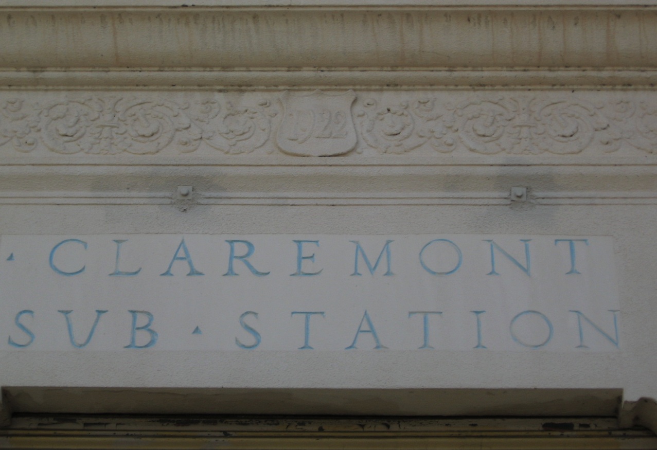
The Pacific Gas and Electric Company's Claremont Substation was built above Lake Temescal in 1922 and offers an additional west view perspective as the final configuration around the lake was achieved late in 1937.
L3-5-Stuart Swiedler Photo, (Image 1 of 14)

This west view from Jul. 17, 1931 provides for a before and after comparison with the next image of the completion of the Landvale Road extension and other access to the substation.
L3-10-Courtesy Pacific Gas and Electric Company, 7794, (Image 2 of 14)

A comparable west view to L3-10 taken in Jan. 1938 after the opening of the Low Level Broadway Tunnel now shows the additional access provided to the area by the Landvale Road extension. The SN right-of-way is now obscured by the new road from this view.
L3-15-Courtesy Pacific Gas and Electric Company, 9518, (Image 3 of 14)

From a more northeasterly view also from Jan. 1938, the completed addition of Broadway and the Landvale Road extension can be appreciated.
L3-20-Courtesy Pacific Gas and Electric Company, 9520, (Image 4 of 14)

Detail of L3-20, northeast view, Jan. 1938.
L3-25-Courtesy Pacific Gas and Electric Company, Detail 9520, (Image 5 of 14)

With the Claremont Substation as a backdrop, this southeast view post-1937 shows Landvale Road and its bridge over and ramps connecting with Broadway or the Low Level Tunnel Road.
L3-30-Courtesy Oakland History Room, Oakland Public Library, O68D, (Image 6 of 14)

Another view of the same intersection taken from the south side of Broadway with a view to the northwest, again sometime post-1937.
L3-35-Courtesy Oakland History Room, Oakland Public Library, 307, (Image 7 of 14)

A better quality image of the same intersection taken from the south side of Broadway with a view to the northwest, again sometime post-1937.
L3-36-Public Works Photo, Oakland Cultural Heritage Survey, Oakland City Planning Department, (Image 8 of 14)

Photos of Lake Temescal during the Landvale Road extension construction by SN enthusiasts are hard to find, but Charley Savage did capture this northwest view of SN 1015, 1012 and 1021 in July 1937.
L3-40-Charles Savage Photo, Courtesy BAERA, Western Railway Museum Archives, 52200sn , (Image 9 of 14)

The same northwest view from 1939 also by Savage provides no clues of the previous period of road construction as SN 1018 leads the three car train toward Broadway Terrace.
L3-45-Charles Savage Photo, Courtesy Tom Gray , (Image 10 of 14)

A south view of SN 1018 captures a moment after construction in 1939. Although slightly out of focus, the block signal and sign for Temescal can be made out to the right of the cars.
L3-50-Charles Savage Photo, Courtesy Tom Gray , (Image 11 of 14)

This undated south view from the Landvale Road illustrates the limited space for the right-of-way to pass between the lake rock formation and the new road. To date the photo, Demoro's book, Sacramento Northern, indicates SN 1024 became Western Pacific 454 in November 1941.
L3-55-Courtesy BAERA, Western Railway Museum Archives, 52318sn, (Image 12 of 14)

The retaining wall and elevated Landvale Road are captured in this undated north view of SN 660. The railing of Old Tunnel Road is in the background. The retaining wall and elevated Landvale Road are captured in this north view of SN 660. The railing of Old Tunnel Road is in the background. The light on the motor has a hood, so the image was taken during WWII.
L3-60-Norman Smith Photo, Courtesy BAERA, Western Railway Museum Archives, 52316sn, (Image 13 of 14)

This undated north view completes this survey of the Landvale Road at Lake Temescal. Note the car parked along Broadway and the railing of Old Tunnel Road in the background. The next update will explore the path of the SN through this intersection.
L3-65-Norman Smith Photo, Courtesy BAERA, Western Railway Museum Archives, 52317sn, (Image 14 of 14)