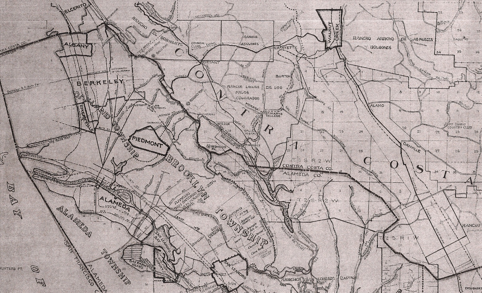
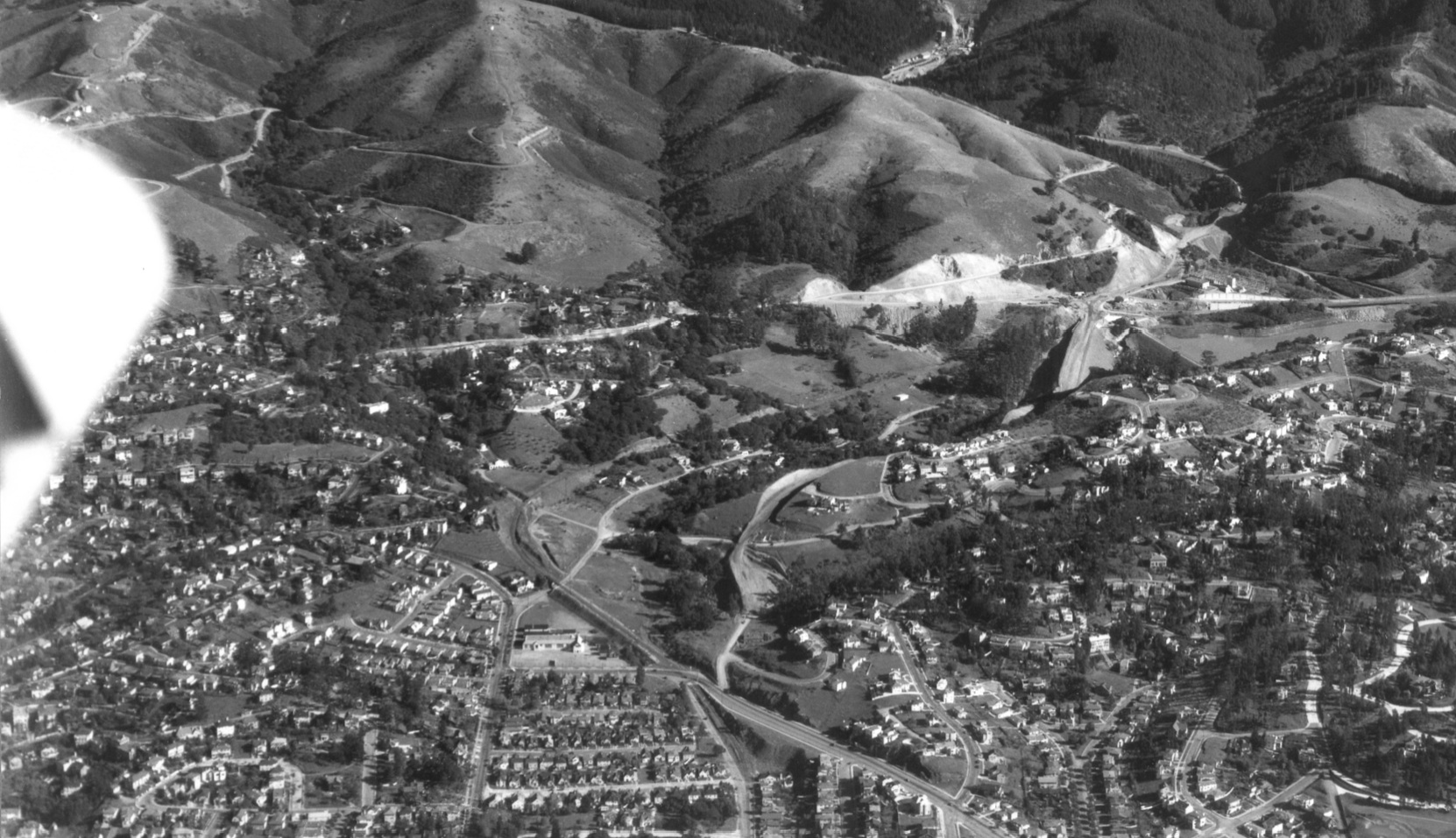
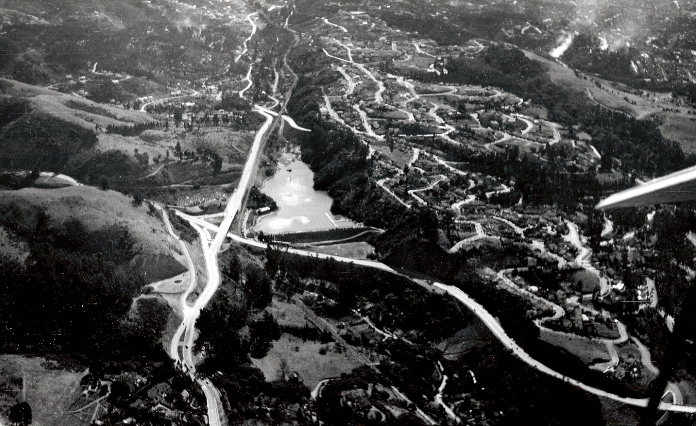
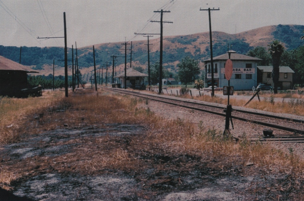
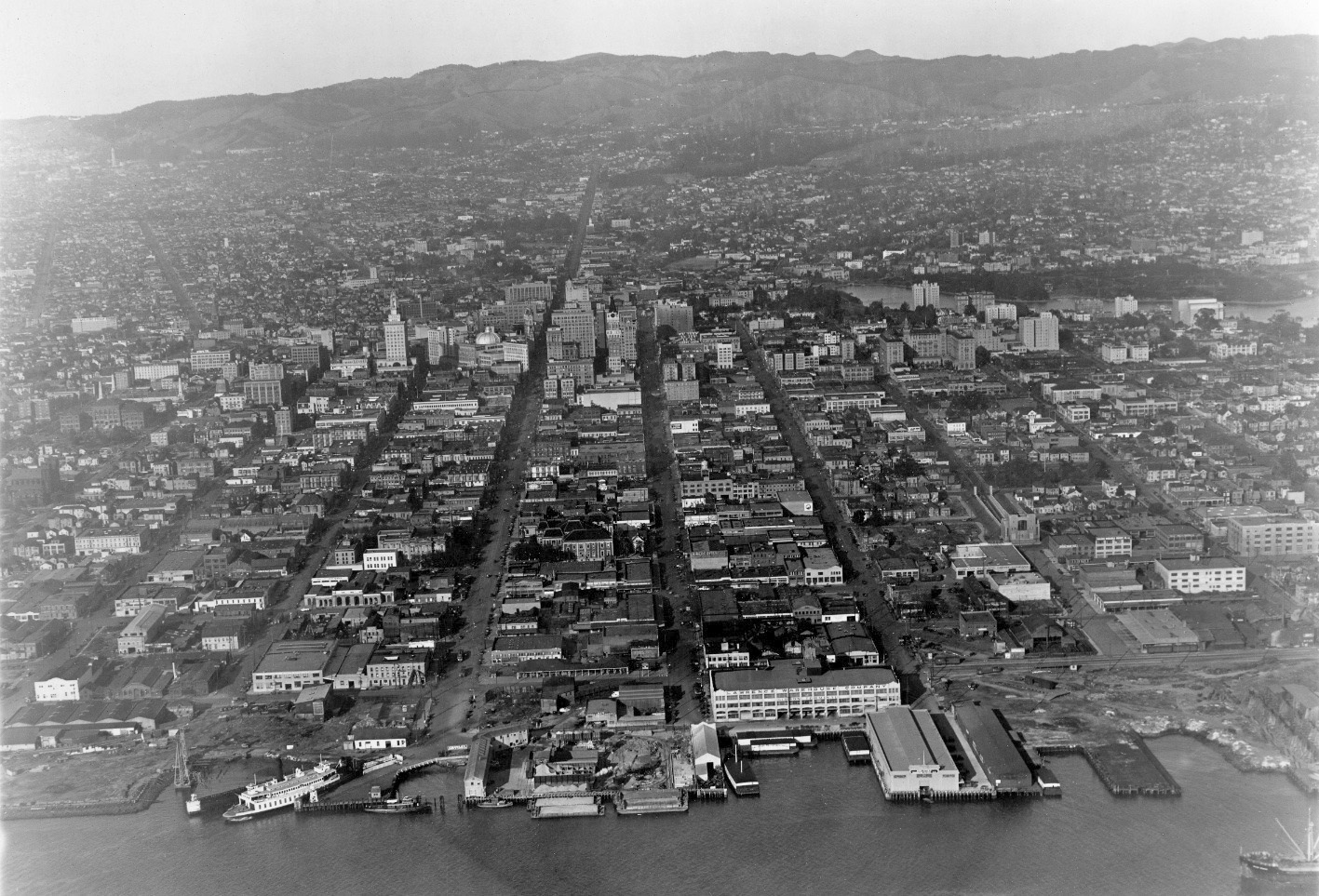
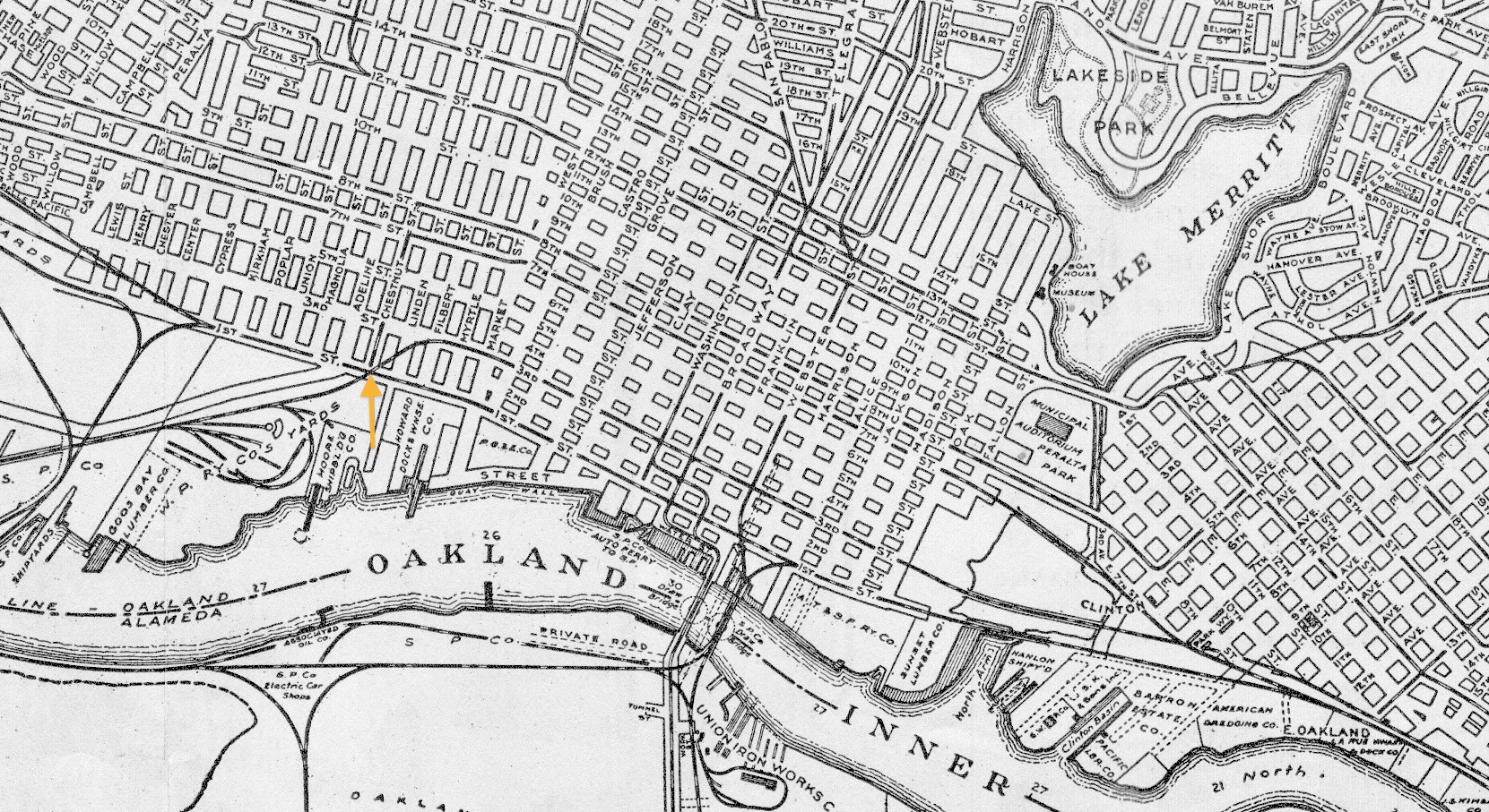
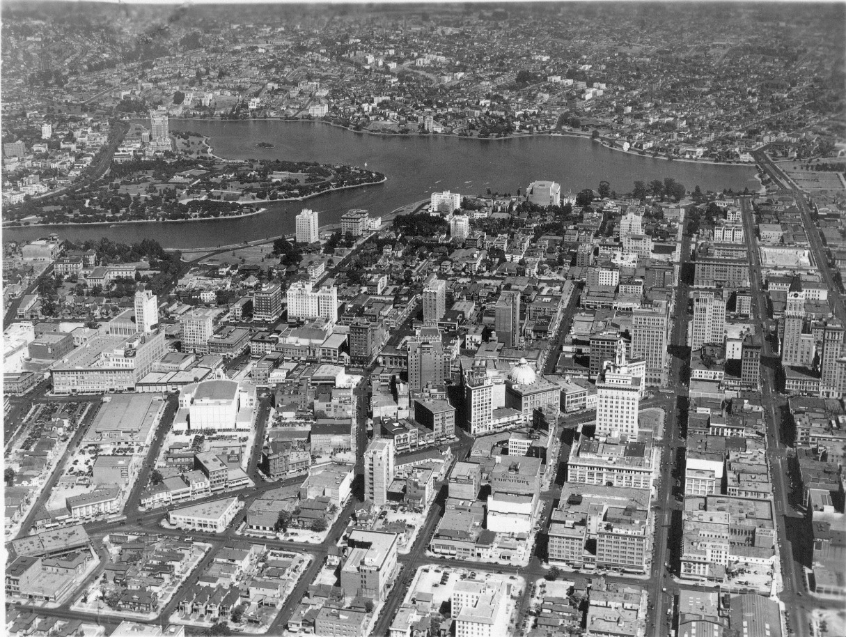
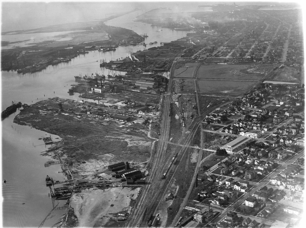
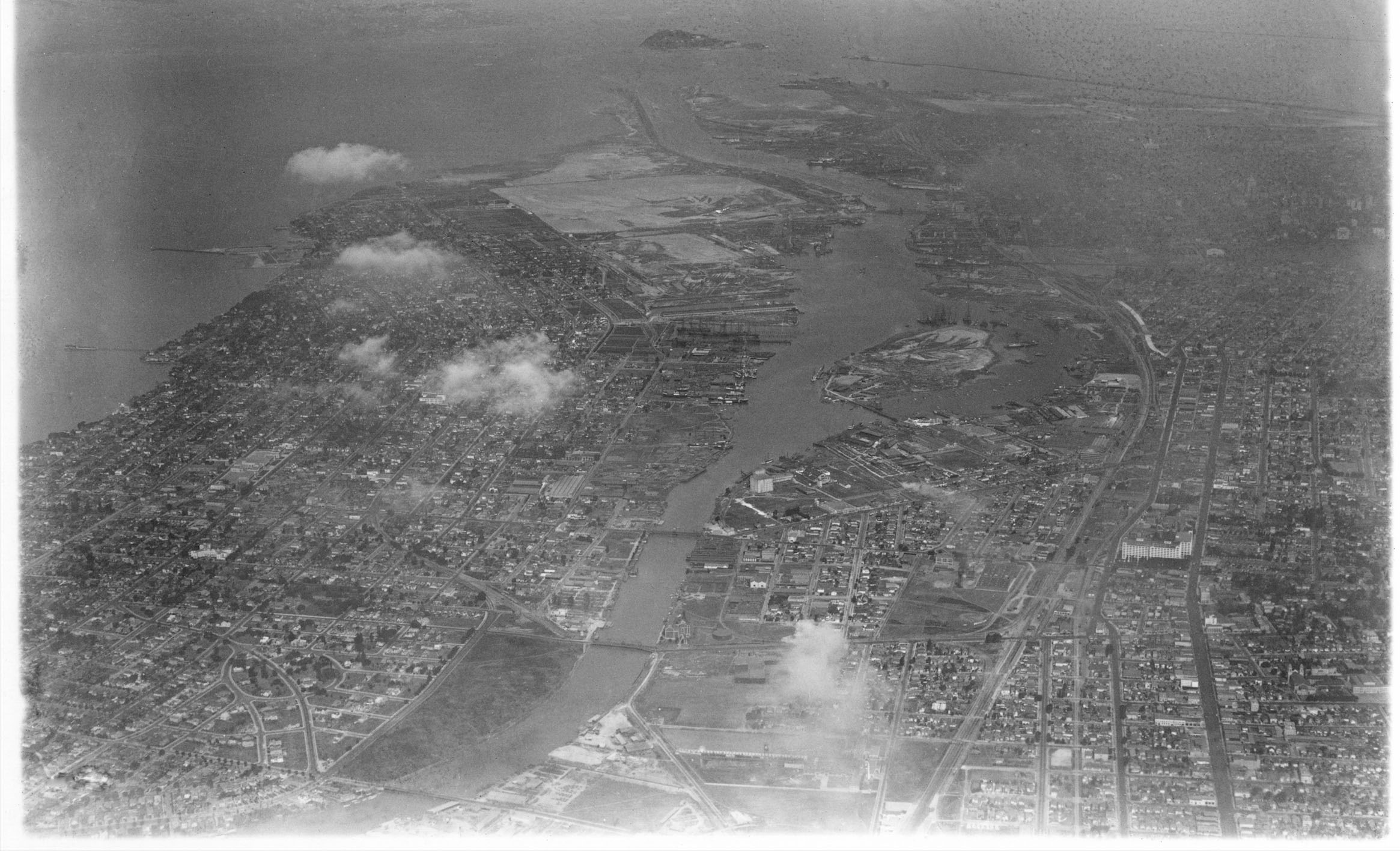
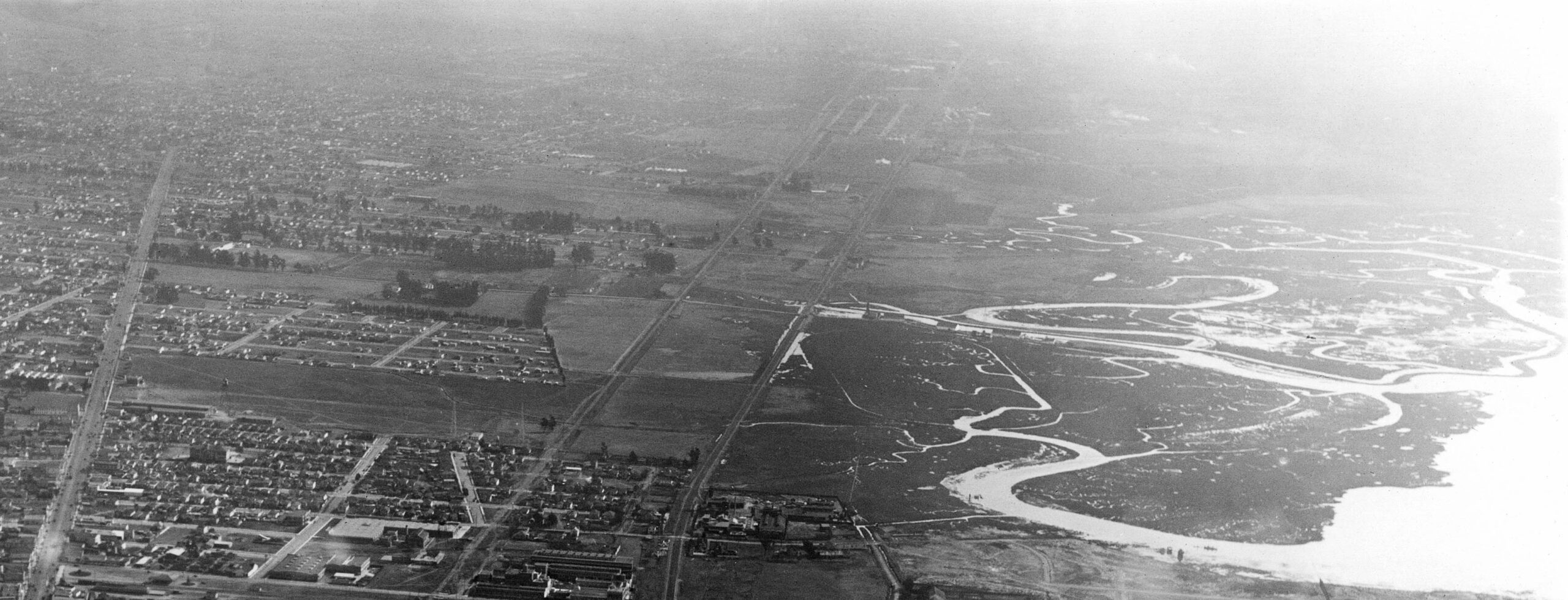
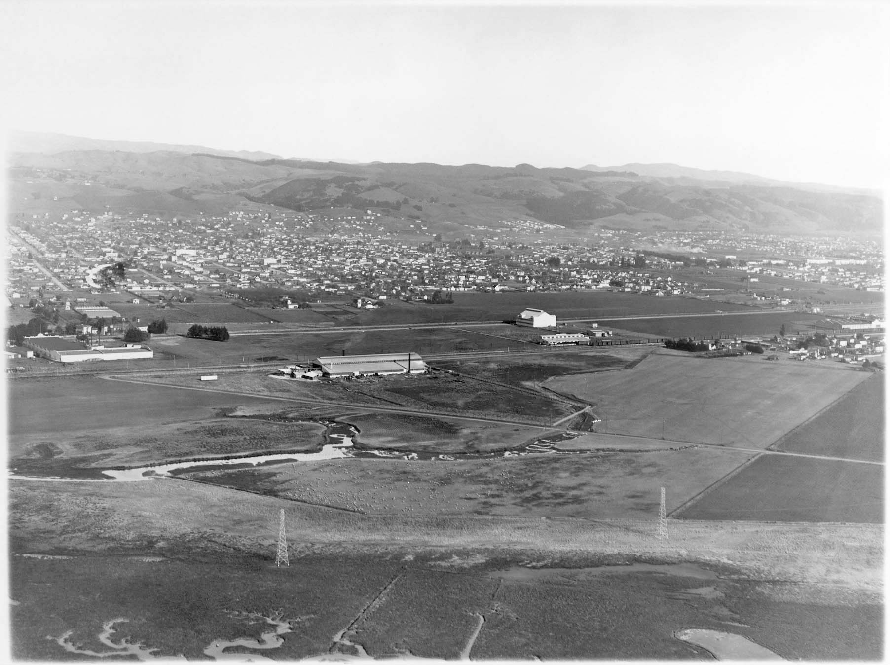
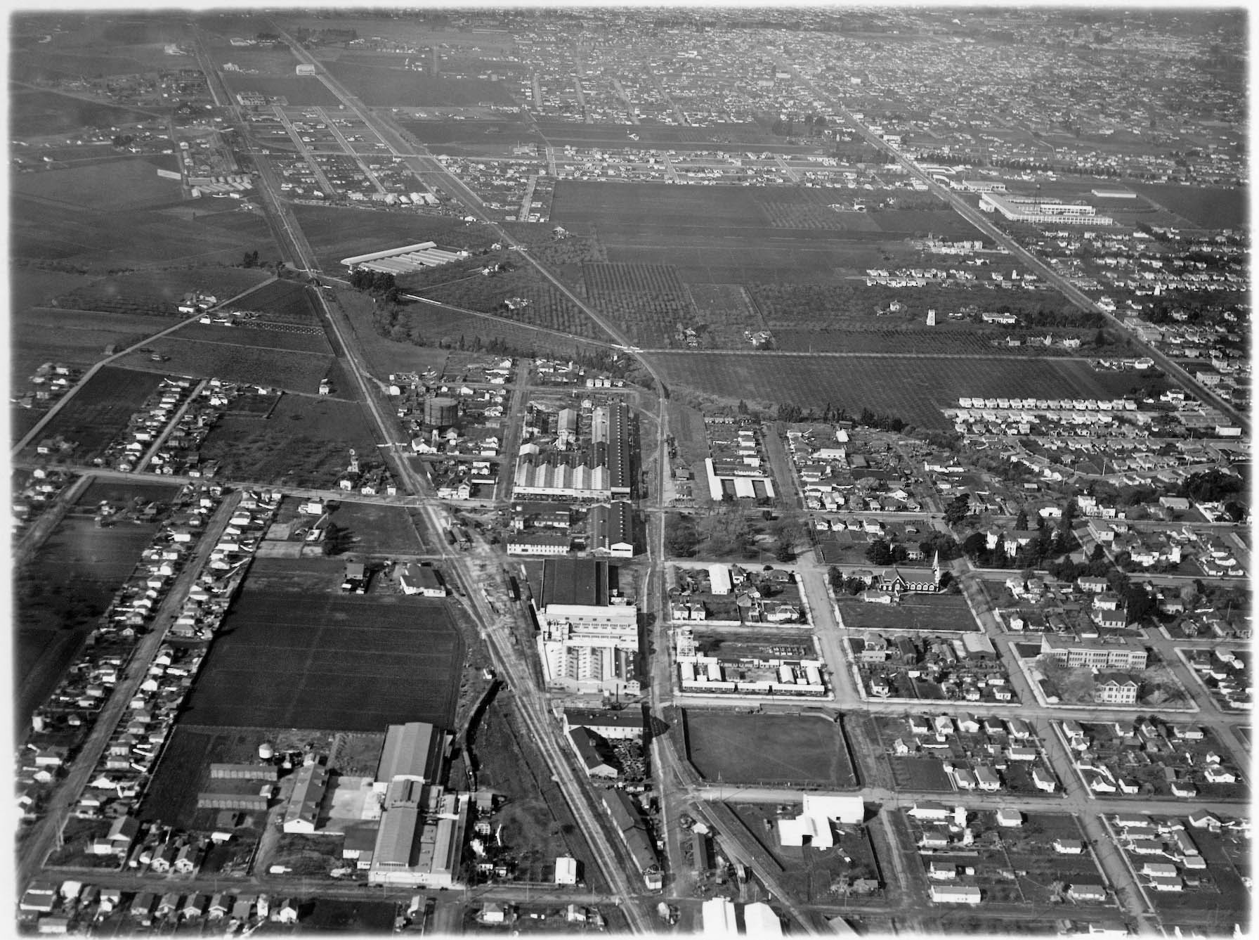
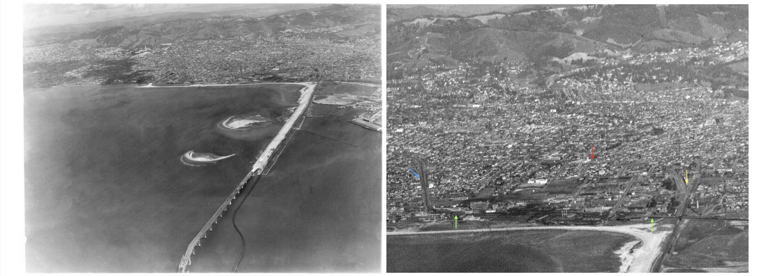
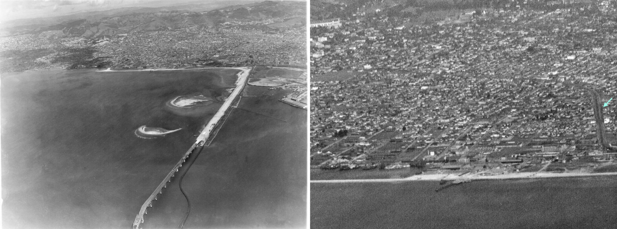
East Bay Overview The Sacramento Northern Route Through the Hills Rockridge Chabot Canyon Lake Temescal & Terrace Montclair Shepherd Canyon Canyon and Pinehurst Moraga Lafayette Saranap Walnut Creek Concord North Coast George Russell’s Coastal Survey George Russell I – The Coast of Oakland George Russell II – The Oakland Skyline of the 1920s George Russell III – Lake Merritt, Broadway, and Before the Posey Tube George Russell IV – Exploring the Oakland Side of The Estuary George Russell V – Alameda and the Three Bridges George Russell VI – Oakland Airport and Melrose George Russell VII – The Transition Zone, Havenscourt to 85th Avenue George Russell VIII – Automobiles, Elmhurst and Stonehurst to the Border George Russell IX – Caterpillar, Canning and Pencils in San Leandro George Russell X – The Industrialization of Emeryville South of Stanford Avenue George Russell XI – The Industrialization of Emeryville North of Stanford Avenue and the Iconic Water Tower