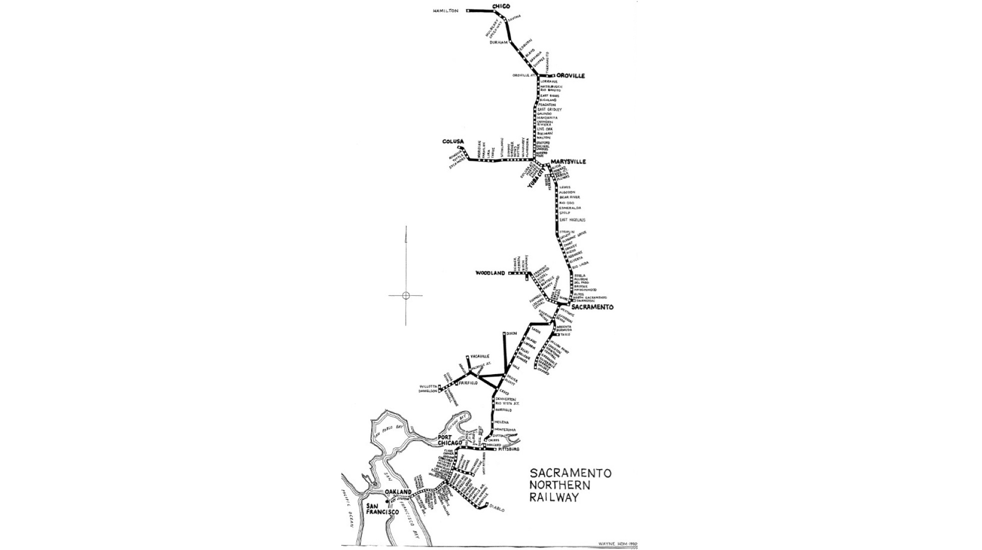
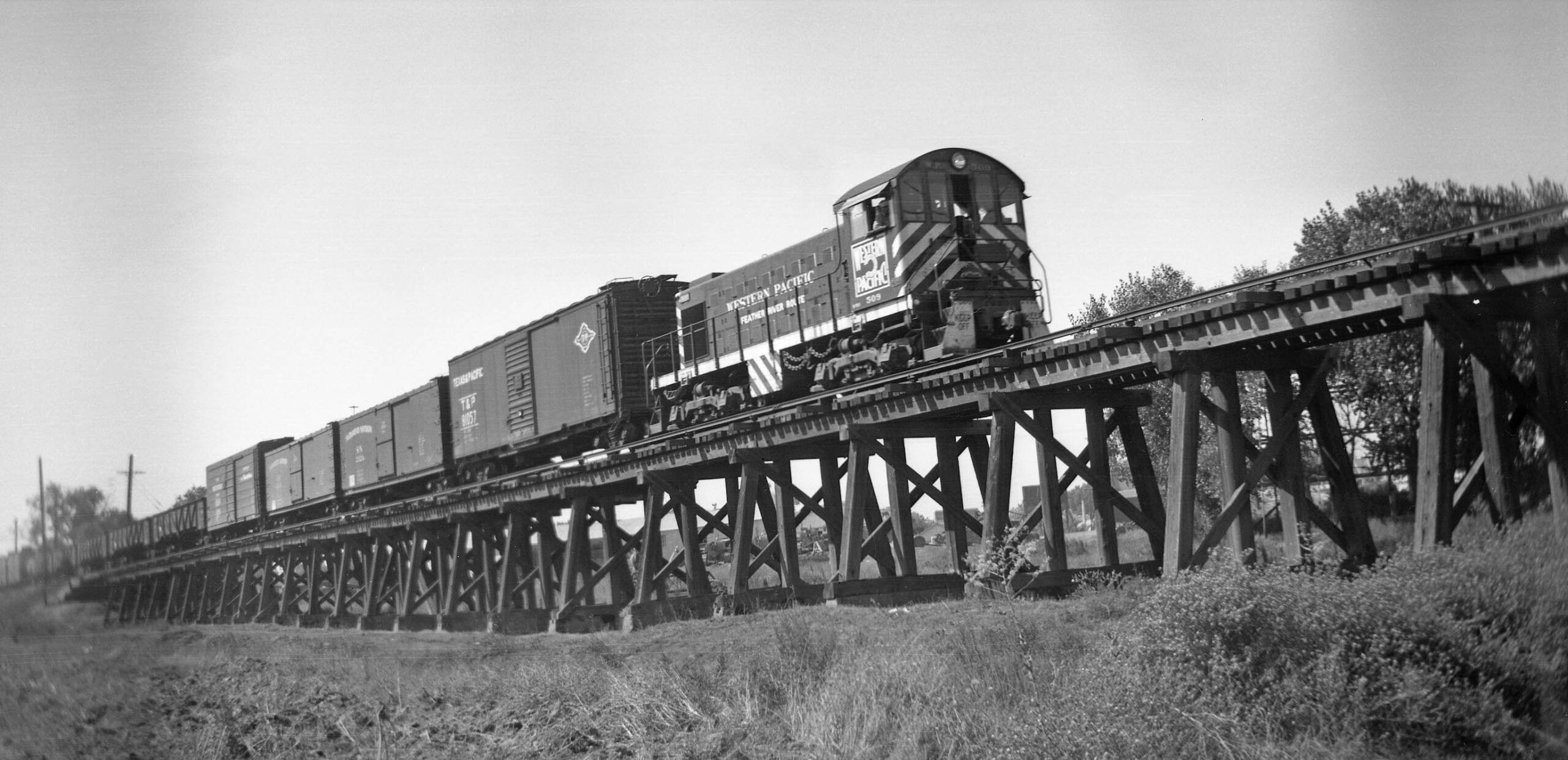
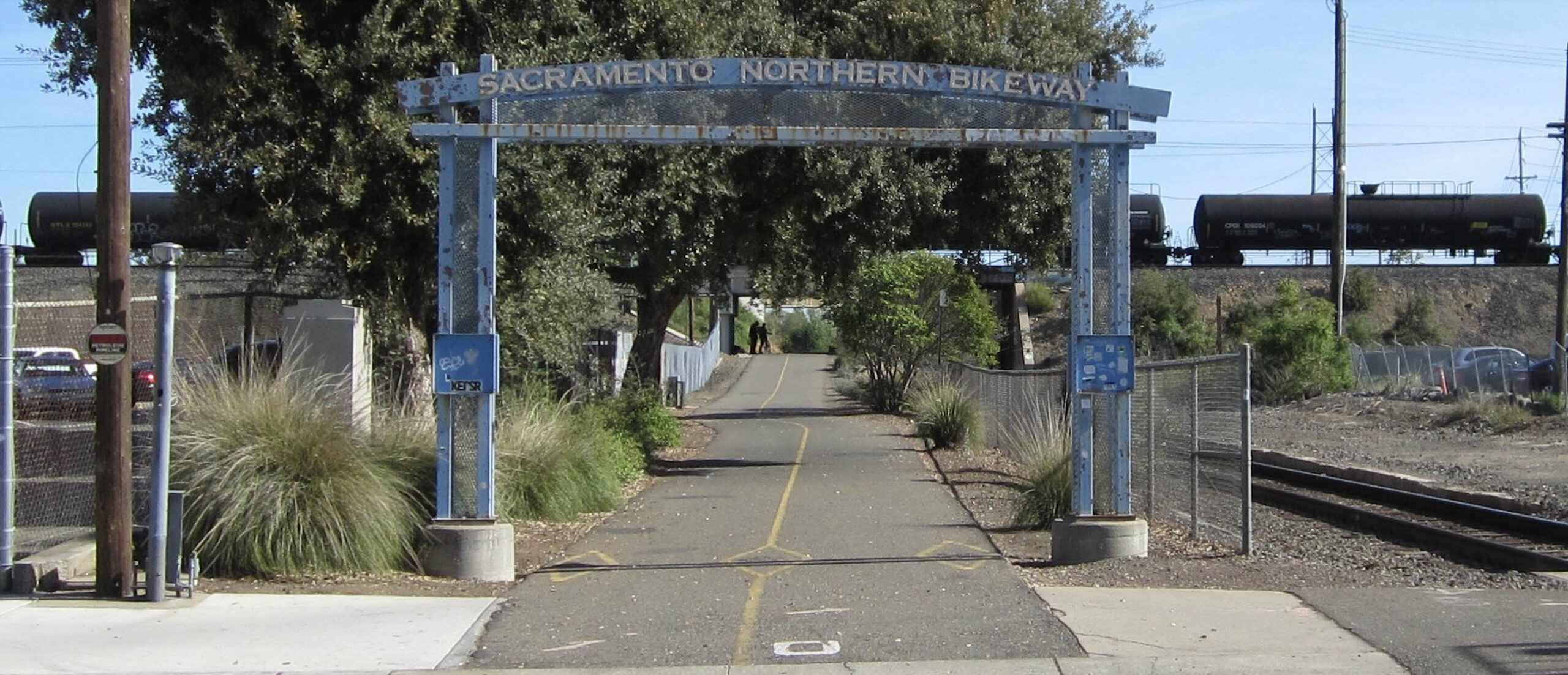
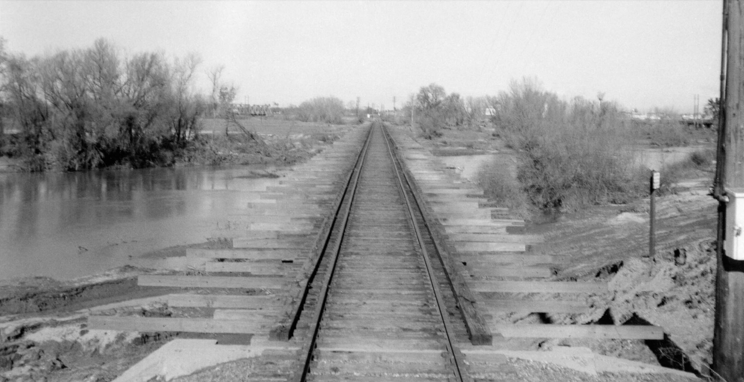
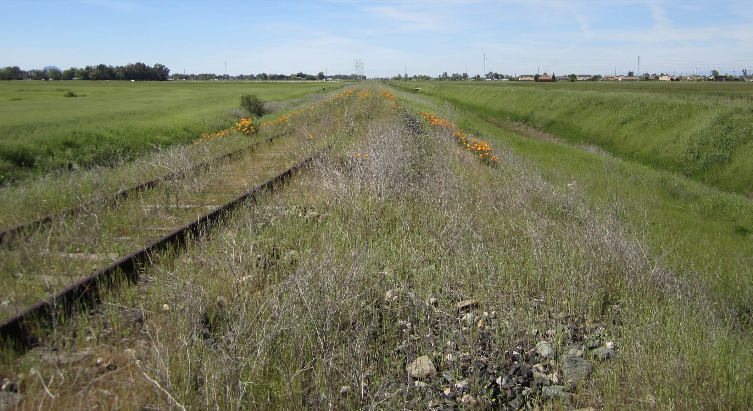
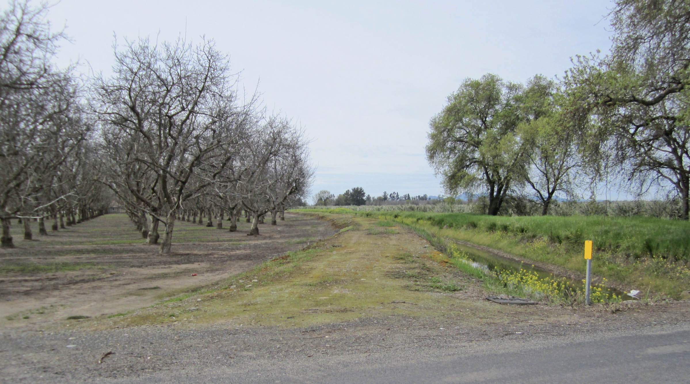
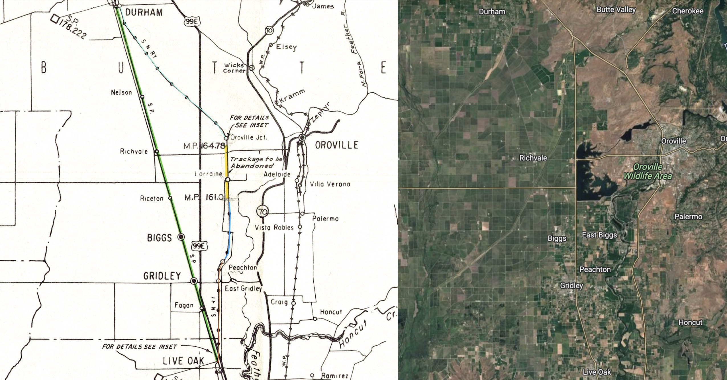
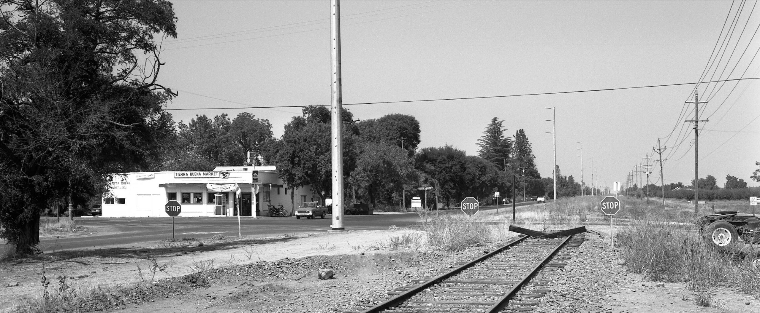
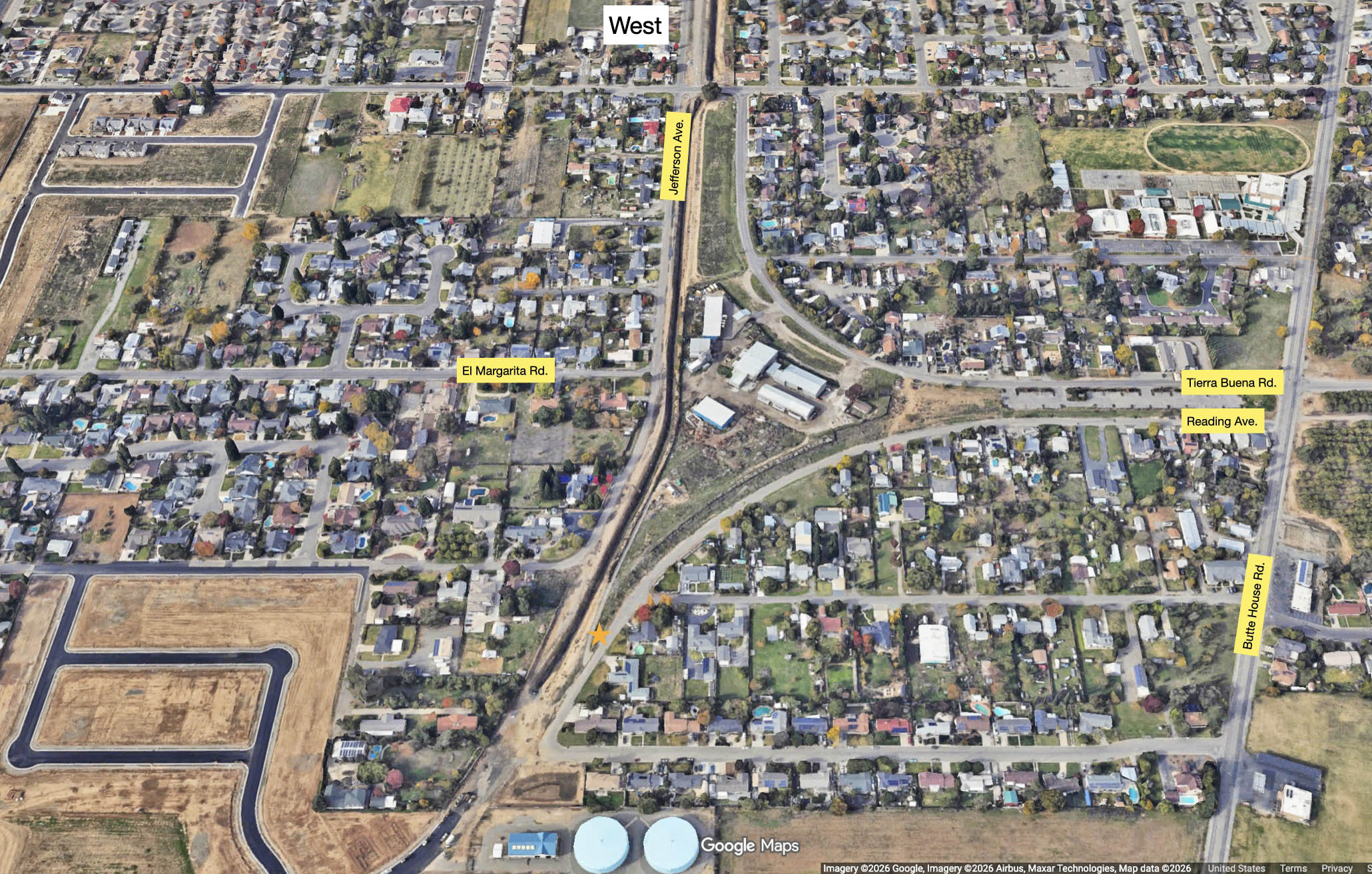
Electric Rail History > Sacramento Northern Hidden Treasures of Sacramento Northern History Sacramento Northern Essentials The Chestnut Street Connector and War – The Western Pacific’s Lost Opportunity The Chestnut Street Connector and War – To and From the Oakland Army Base The Chestnut Street Connector and War – Highway 880 and the Union Street Connector 40th and Shafter, 1957 How the North End of the Sacramento Northern Railway Was Lost Foreshadowing the Future American River to Globe, One Bridge, One Trestle Season’s Greetings From Alicia All Roads Lead to Reed Junction Power Poles, Highway 70, and the Loss of East Nicolaus to Arboga The Sankey Solution, Part 1- Stripping Striplin The Sankey Solution, Part 2- Natomas Levee and Pleasant Grove The Sankey Solution, Part 3 – North Sacramento to Robla The Sankey Solution, Part 4 – The Last Gasp at Rio Linda Before Thought for an Afterbay, Part 1 – The Options Before Thought for an Afterbay, Part 2 – The Solution The Durham-Oroville Junction Branch and Lorraine Revealed The Live Oak-Peachton Branch and the Gentle Curve The Forgotten Road Beyond Peachton to Haselbusch A Ride on the North End of the Sacramento Northern Railway Colusa Junction to Live Oak Colusa Junction to Colusa