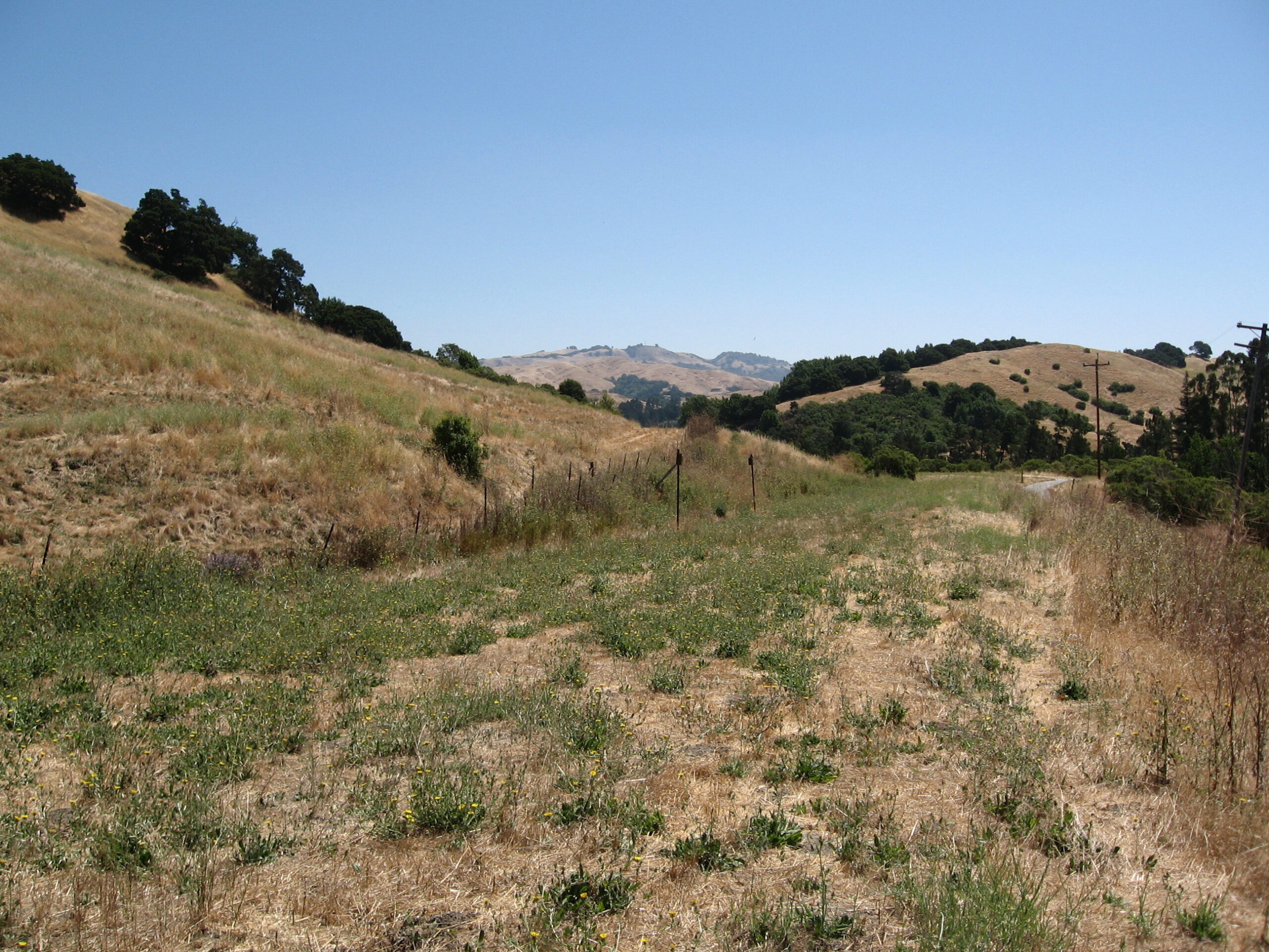
The Underserved Shelter and More About Valle Vista

To learn more about Valle Vista’s past, head east from the former location of the Canyon Rd. SN overpass until reaching the asphalt path of the Lafayette-Moraga Trail, the latter rising from Canyon Rd. across from the Valle Vista Staging Area.
L109-05-Stuart Swiedler Photo, (Image 1 of 11)

Once on the asphalt, the time is shifted back to 1940, and the SN right-of-way and Valle Vista shelter come into view.
L109-10-Vernon Sappers Collection, Courtesy BAERA, Western Railway Museum Archives, 75180sn, (Image 2 of 11)

This north view from 1935 provides the position of the small shelter. If you are wondering why the railway ever built this shelter, read on ...
L109-15-Pacific Aerial Surveys, Courtesy East Bay Regional Park District, USNPS-11-D, (Image 3 of 11)

Today we appreciate that Valle Vista is an EBMUD watershed, seen here from a south view taken from the SN right-of-way, Aug. 15, 1937. The position of the “green bridge” hasn’t changed.
L109-20-Charles Savage Photo, Courtesy BAERA, Western Railway Museum Archives, 77355sn, (Image 4 of 11)

Once the Oakland, Antioch and Eastern started passenger service in 1913, James Irvine and the Moraga Co. were eager to develop the Valle Vista subdivision up to the People’s Water Co.’s watershed as shown in this drawing from July 1915.
L109-25-Courtesy of Contra Costa County Public Works, (Image 5 of 11)

A southwest view of Valle Vista as the East Bay Water Co. announced plans to build the Upper San Leandro Reservoir as reported in the Jan. 17, 1924 Berkeley Gazette. This image, purported to be from 1924, shows that even before this announcement, development of Valle Vista never took off. A print of this image noted “#7399 ordered from Ford E. Samuel, 470 13th Street, Oakland”. Vernon Sappers attributed a copy negative to SN President Harry Mitchell.
L109-30-Courtesy BAERA, Western Railway Museum Archives, 75176sn , (Image 6 of 11)

As a boom was experienced in most of central Contra Costa County post-WW II, Moraga remained fairly unchanged as seen here in this 1950 west view over Upper San Leandro Reservoir. A few structures dotted the south bank of the reservoir, and housing along Camino Pablo remained restricted to the northeast side.
L109-35-RL Copeland Photo, from the collection of the Moraga Historical Society, Moraga, CA, 12, (Image 7 of 11)

Now more views of the shelter during the SN passenger era. Here Train 7 composed of SN 1016 and SN 224 approach the shelter on the way to Oakland. Southeast view into Upper San Leandro Reservoir, July 21, 1940. Note the last remaining residence along the south side of Canyon Rd.
L109-40-Courtesy BAERA, Western Railway Museum Archives, 77389sn, (Image 8 of 11)

SN 1014 reaches the shelter on July 6, 1941, one of two extra passenger trips on the southend as a result of applying late to the ICC for a July 1 cessation of passenger service. Northeast view. No images have been found showing passengers at the Valle Vista shelter.
L109-45- Louis Bradas, Jr. Photo, Courtesy BAERA, Western Railway Museum Archives 67929sn, (Image 9 of 11)

By 1950, the shelter was gone, more likely after passenger service ended based on many post-WWII freight shots of the area. The trees on the hill above to the northeast are constant features of all east views of Valle Vista, even those taken today.
L109-50-Tom Gray Photo, Courtesy Tom Gray , (Image 10 of 11)

Across from those trees, the railway started a wide lefthand turn that eventually would shift it to the northwest to bring it in line to enter central Moraga along a long straight-away. This southwest view of a late 1948-1950 BAERA excursion with MW 302and SLU 751 provides another view into the reservoir.
L109-55-JG Graham Photo, Courtesy BAERA, Western Railway Museum Archives, 75626sn, (Image 11 of 11)